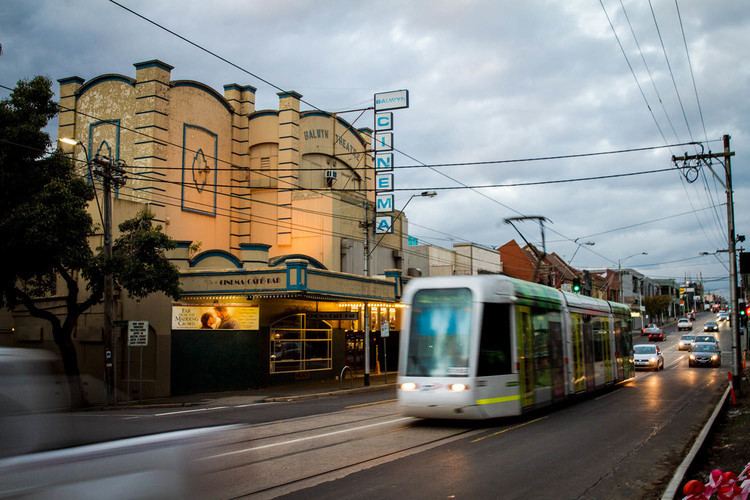
Balwyn is located in the south east suburb of Melbourne, 10 km east of Melbourne. Its local government area is the City of Boroondara.
Balwyn had a population of 12,944 (2011 census)
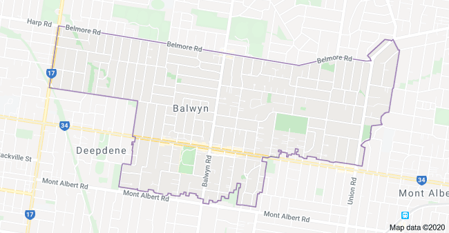
Balwyn in the north is separated from Balwyn North by Belmore Road, bounded in the west by Burke Road, in the south by an irregular line along Mont Albert Road, Northcote Avenue and Whitehorse Road and in the east by a line some distance to the east of Union Road.
Whitehorse Road runs east-west along the ridgeline through the centre of Balwyn. Balwyn Road runs north-south from Koonung Creek Reserve(adjacent to the Eastern Freeway) to Canterbury Road.
Surrounding suburbs: Box Hill North, Surrey Hills, Kew East, Deepdene, Balwyn North, Canterberry,Mont Albert.


